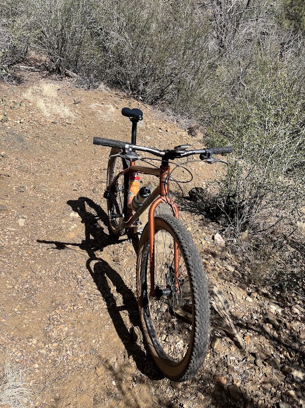
I wanted to start on the car Dealership Bypass, but only found after going through the dealer lol. The bypass is shown as a dotted green line on Trailforks Website, but but not at all on my Garmin Trailforks map, as intimated above, my phone has a terrible GPS latency on Trailforks, Oh well. You get to go through a tunnel this way at least.
You turn off of 89 into the state forest trailhead and get on the Goldwater Lakes trail (upper back end of the parking area) which climbs above 6000’ for the first time up to 6500’. You get a view of the lakes from up above through the trees. You cross Senator Highway into a trailhead, go left on to Ranch trail. Not #299 Watershed. This is where the Trailforks course actually starts. I started from the bottom. You’ll keep rolling between like 6300’ and 6500’. Then it shares some of Ranch from Tuesday’s intended ride, but in the opposite direction. Turning off onto the Badger Mountain connector. Man is this fast and furious with a little climbing. I went down on this one when a big boulder jumped out me, (Don't you just hate it when that happens?) I made it around the boulder but pushed the front wheel trying to get back on line and not go off the cliff. lol. Back to Badger Mountain and back the way I came except I went out the Dealership bypass to the road to my hotel.
I should have done this one first. You are riding a lot more between 5600’ and 6000’.
Which I attribute to being able to get more oxygen. That a lighter breakfast and a more gradual warm up than Tuesday. Maybe a little acclimation too!
I actually felt better Tuesday once I got lower. Today’s ride only went to 6550’ or so it was late in the ride even that felt better than Tuesday. I felt like I spent a lot of time in the 6700’-7000’ foot range Tuesday. So there is that.
Sticks did I mention sticks? While not a ton, I am not used to looking for them like when I lived in Jersey.

